Key Research Areas
The overarching research agenda of the department and its partners is directed at strategic emerging transformation processes of cities and regions regarding their technical, structural and socio-economic dimensions and corresponding land use patterns - for instance in the fields of mobility or economy. The international debate about "Planetary Urbanism", the UN Habitat III process, as well as the Urban Agenda of the European Union further confirmed and emphasized the significance and role of the topics mentioned in the spatial sciences.
The research agenda of the Department of Spatial Planning is oriented alongside two thematic clusters, each subdivided into two fields:
Cluster 1: Design of metropolitan areas
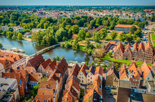
- Transformation and design of polycentric city regions
- Land use planning and urban development in the global south
Cluster I addresses issues of design of spaces and places, and elaborates interventions for cities and regions in the framework of applied case study research. Furthermore, this cluster monitors and evaluates existing procedures with regard to their effectiveness, and experiments with new planning approaches - for instance concerning the conservation of historic monuments, urban regeneration in an era of energy transition, or urban and regional development in shrinking economies. The focus is directed particularly at interventions and solutions as well as instruments and processes for planning practice. This approach explicitly comprises the reflection upon planning processes, procedures, and institutional conditions for planning. The close cooperation with external partners from the field is fundamental for this area of research.
Cluster 2: Challenges of spatial development

- Climate change, energy transition and spatial planning
- Mobility, migration and socio-demographic change
Cluster II assesses fundamental contemporary dynamics of spatial development – such as migration, mobility on larger and smaller scales, climate change, demographic change, suburbanisation, re-urbanisation, and economic transformation – and applies these to the development of infrastructures, with particular regard to challenges and potentials of new technologies. Of utmost concern is the further elaboration of methods for spatial analysis, evaluation and prediction of dynamics of spatial development aiming at reduction of uncertainty (evidence-based planning), and the development of corresponding strategies for the application of technology.
These two clusters fundamentally differ methodologically and epistemologically, whereas synergies are to be expected amongst topics and staff. While Cluster II makes use of models, scenarios and large-n studies (spatial monitoring), Cluster I emphasizes case studies, “Real-World Laboratories”, process observation, and comparative-qualitative designs.


